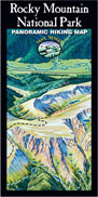
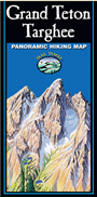
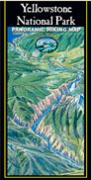
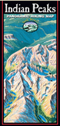
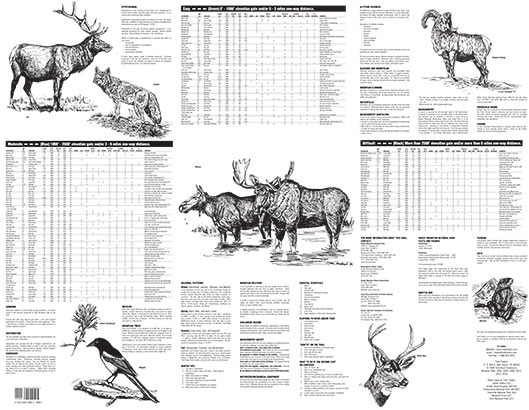
If you’ve skied at many ski areas, you’ve probably seen tbe artist’s other work. It’s not a topo map and doesn’t replace something like a Trails Illustrated map which is topographic and has more detail on trails and backcountry campsites. What it is a great artwork of the area with many labels of peaks, lakes, meadows and that sort of thing. If you are like me and it takes a long time to distinguish exactly what you are looking at from just viewing a Topo map, this map will help. I’m living in Estes Park this summer and I plan on just leaving this map on the wall for quick reference. For me it’s a great resource and beautiful to look at as well. Depending on what you are hiking, this may be the only map you’ll need, especially if you are staying on the east side of the park as east is where the vantage point is. If you prefer the standard topo, this will go great right alongside the topo before or during your hike. I like to look have more than one reference before planning a trip, including google maps/earth and something like Garmin Connect or Strava.
I think most of the negative reviews thought they were getting a topo map. If you understand this is an illustrated map, I don’t think you’ll be disappointed I love it. Even in this day in age of google maps and google earth, this map is very useful.

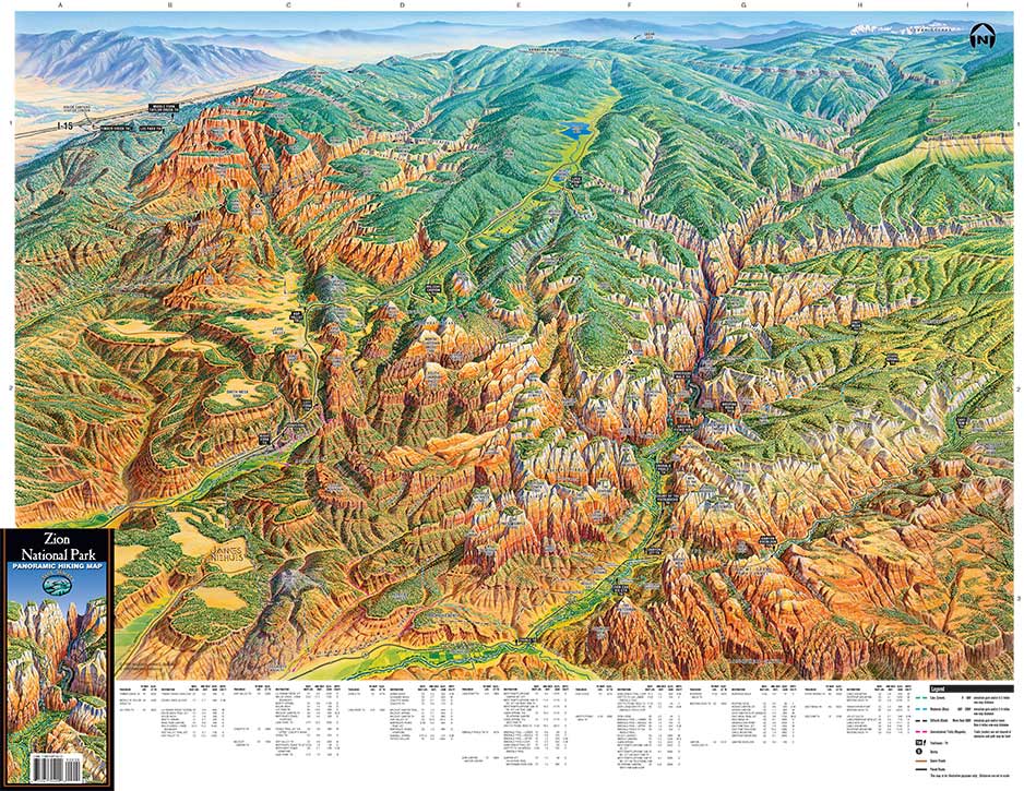
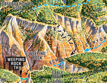
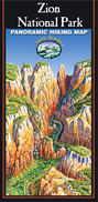
 Trail Features: Zigzag up to Echo Canyon & slither through the slickrock formations. Then take on the serious ascent (not necessarily for those who fear heights) to the top of the mesa. Traverse to the point of endless views.
From this point you will enjoy the views of the Great White Throne, Cable Mountain, Angels Landing and Zion Canyon.
Trail Features: Zigzag up to Echo Canyon & slither through the slickrock formations. Then take on the serious ascent (not necessarily for those who fear heights) to the top of the mesa. Traverse to the point of endless views.
From this point you will enjoy the views of the Great White Throne, Cable Mountain, Angels Landing and Zion Canyon.