Indian Peaks, Colorado


ADD MAPS TO CART
Nearby Cities/Attractions:
Boulder, Nederland, Allenspark, Estes Park, Rocky Mountain National Park, Grand Lake, Granby, Winter Park
Featured Hike:
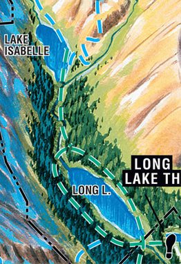
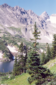
Destination: Lake Isabelle One-Way Distance: 2 miles Elevation Gain: 388′ Difficulty Level: Easy (0′ – 1000’ elevation gain and/or 0 – 3 miles one-way distance) Trailhead: Long Lake Trailhead (TH) Elevation at TH: 10480′
What are people saying about Trail Tracks Maps?
Nice folding map - single view wiht trails.
Very useful durable map for hiking in RMNP. Folds easily and water resistant. Difficulty of the routes are noted in different colors on the map.
good map
good map, couldn’t have gone without it.
Love these maps!
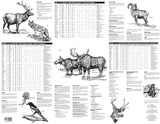
The Trail Tracks hiking maps are hands down my favorite hiking maps. I bought my first one between 15-20 years ago and am just now wearing it out. Ordered a new one this week. What I love about these maps is the fact that you can pick out the hikes you want to do based on the sights (waterfalls, wild flowers, etc), mileage, elevation gain, etc. All of the hikes are grouped by categories into “easy”, “moderate” & “difficult” so that you can pick the right hike for the occasion. The paper is very durable and semi waterproof so it holds up after multiple foldings. It is not a technical map so I also use one that the national park gives me as a supplement. Sometimes the technical maps are more difficult to use because they have too much info on them which tends to frustrate me more than help. Especially the topographical maps, which I won’t use.
Like a ski map. Easy to name the peaks with this one.
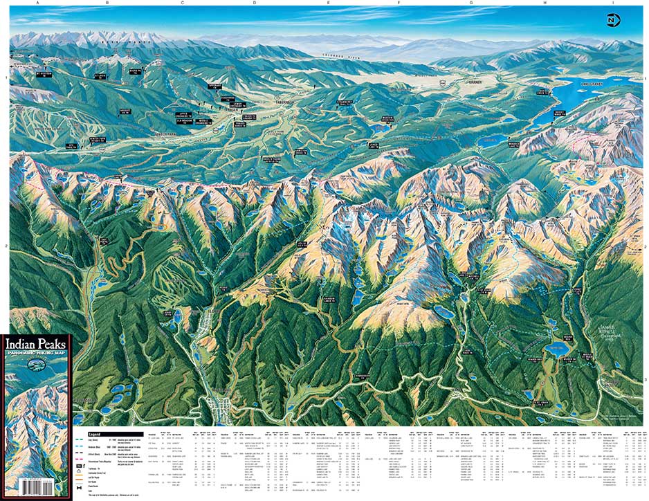
If you’ve skied at many ski areas, you’ve probably seen tbe artist’s other work. It’s not a topo map and doesn’t replace something like a Trails Illustrated map which is topographic and has more detail on trails and backcountry campsites. What it is a great artwork of the area with many labels of peaks, lakes, meadows and that sort of thing. If you are like me and it takes a long time to distinguish exactly what you are looking at from just viewing a Topo map, this map will help. I’m living in Estes Park this summer and I plan on just leaving this map on the wall for quick reference. For me it’s a great resource and beautiful to look at as well. Depending on what you are hiking, this may be the only map you’ll need, especially if you are staying on the east side of the park as east is where the vantage point is. If you prefer the standard topo, this will go great right alongside the topo before or during your hike. I like to look have more than one reference before planning a trip, including google maps/earth and something like Garmin Connect or Strava.
I think most of the negative reviews thought they were getting a topo map. If you understand this is an illustrated map, I don’t think you’ll be disappointed I love it. Even in this day in age of google maps and google earth, this map is very useful.
Great Map
This is not a topo map. It is, however, a fantastic panoramic map. It is very accurate, informative and works well on it’s own or paired with a topo for those looking for more detail. An excellent map for the day hiker and a beautiful piece of artwork as well.


