


-
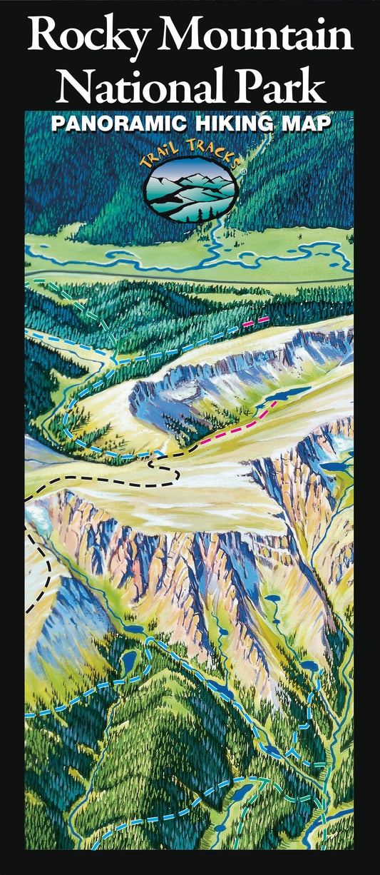
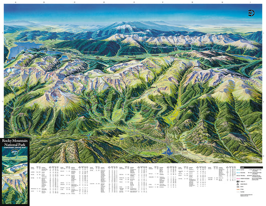
Rocky Mountain National Park Hiking Map
Regular price From $14.95Regular price -
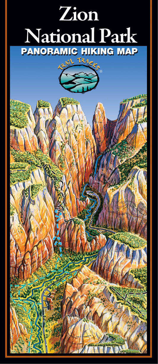
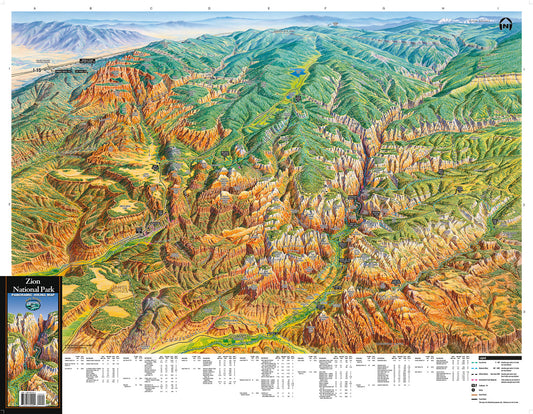
Zion National Park Hiking Map
Regular price From $14.95Regular price -
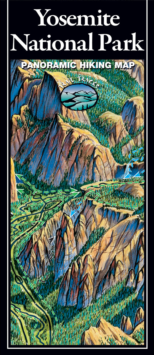
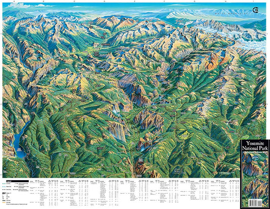
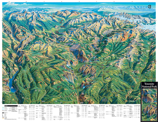
Yosemite National Park Hiking Map
Regular price From $14.95Regular price -
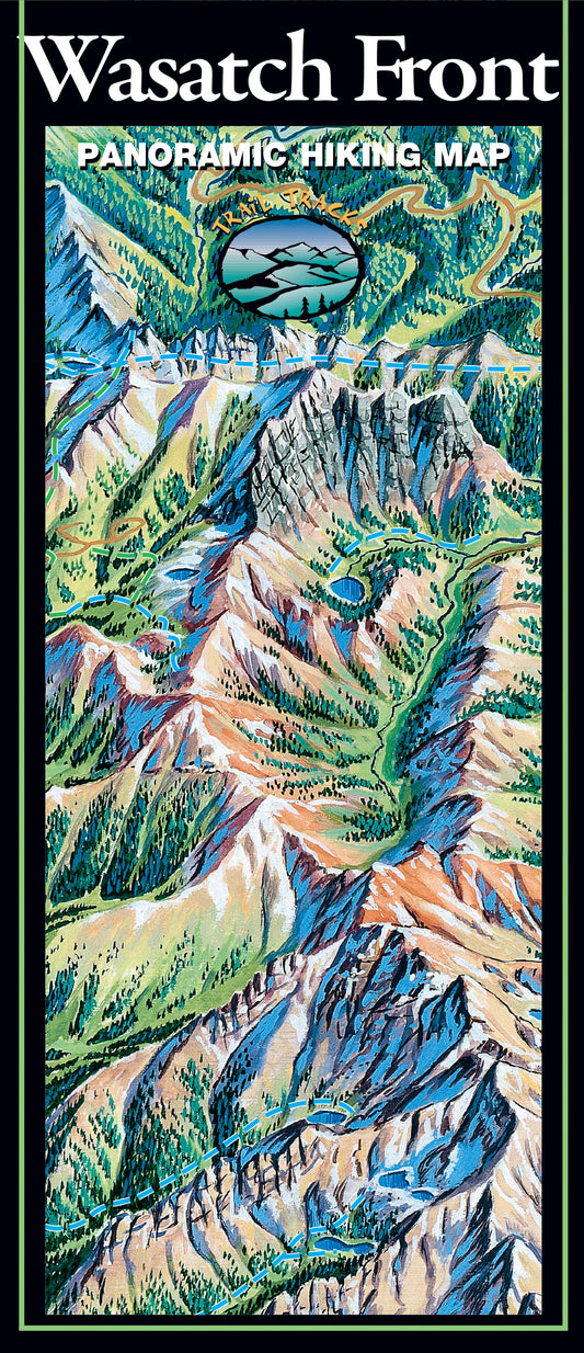
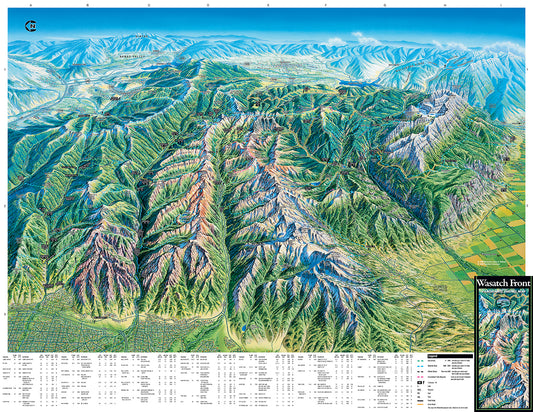
Wasatch Front Hiking Map
Regular price From $14.95Regular price -
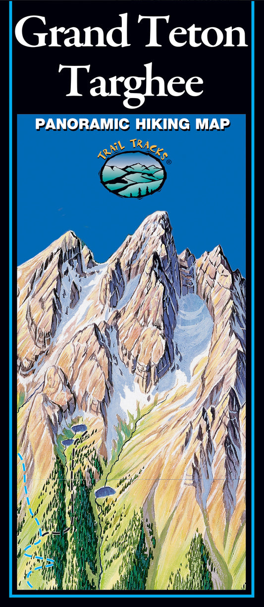
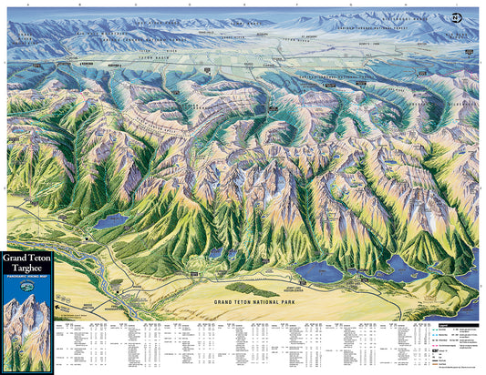
Grand Teton and Targhee Hiking Map
Regular price From $14.95Regular price -
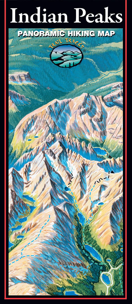
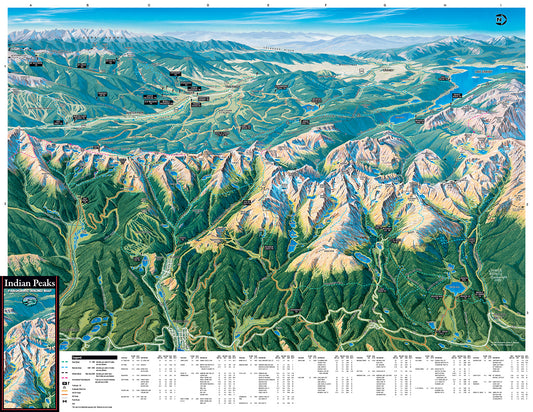
Indian Peaks Hiking Map
Regular price From $14.95Regular price -
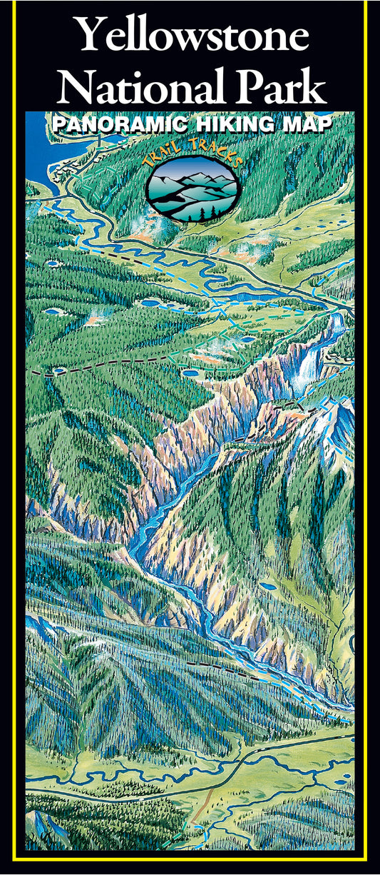
Yellowstone National Park Hiking Map
Regular price From $14.95Regular price

About Trail Tracks
Trail Tracks was born from two passionate hikers working to make hike planning easy for all!